
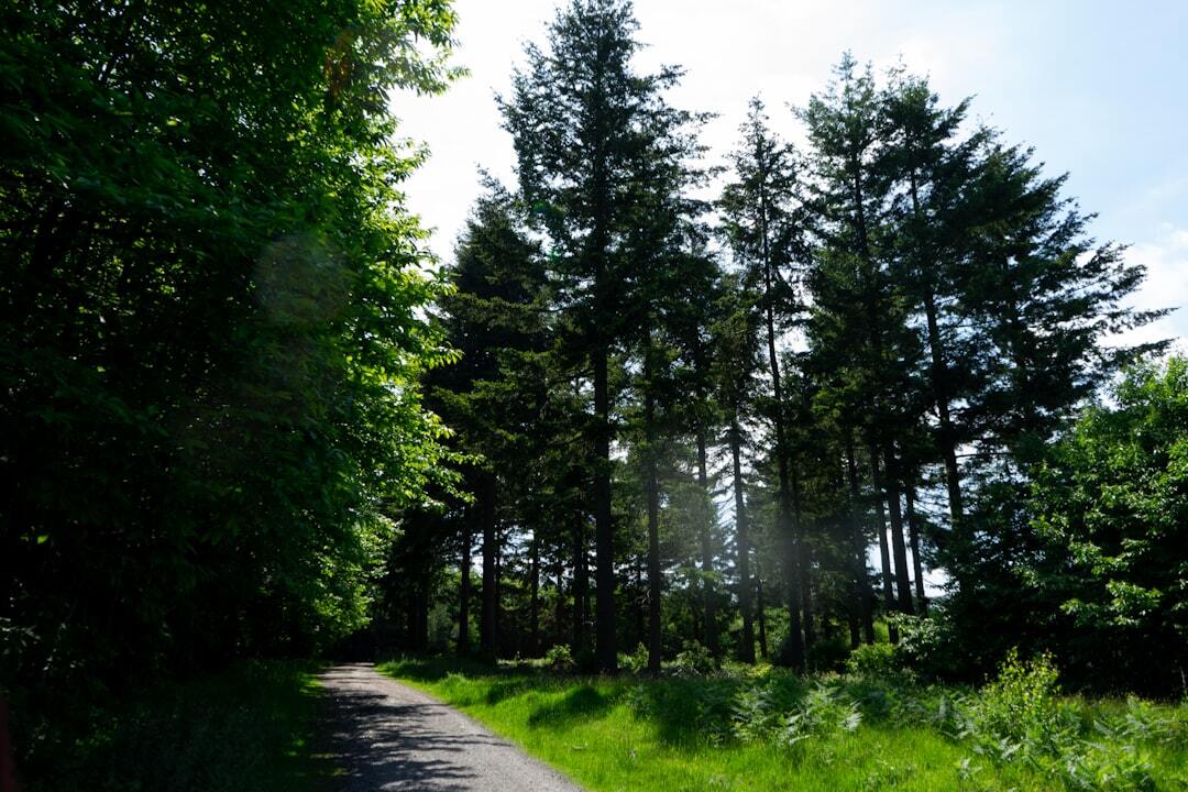
Kent becomes a very different county when explored on foot. Within a relatively small area, walkers can follow the top of brilliant white chalk cliffs, cross rolling downland, disappear into wooded hills, skirt saltmarsh and wetlands or wander through one of the most unusual shingle landscapes in Britain.
The following routes have been chosen because each reveals a different side of Kent rather than simply offering another pleasant countryside loop. There are short walks suitable for a couple of hours, a longer half-day hike and options ranging from relatively flat coast paths to steep downland. Conditions can change considerably after rain or in strong coastal weather, so check the latest official route information before setting out and choose footwear accordingly.
White Cliffs of Dover to South Foreland Lighthouse
Distance: 3.5 miles / 5.6km
Approximate time: 1 hour 40 minutes, longer with stops
Difficulty: Moderate
Few walks announce Kent quite as dramatically as the route from the White Cliffs Visitor Centre towards South Foreland Lighthouse. The National Trust circular follows the clifftop east from Langdon Cliffs, passing Fan Bay before reaching the white Victorian lighthouse and returning on a different path. For much of the walk, the English Channel occupies the horizon while the chalk drops sharply towards the sea below.
The scenery is more varied than the famous postcard view might suggest. Chalk grassland covers the cliff tops, supporting specialist wildflowers and insects, while the busy Dover Strait creates a constant backdrop of ferries and cargo ships. On exceptionally clear days the French coast can be visible across the water.
This is not the place to become casual about the terrain simply because the route is relatively short. One section is steep and includes steps, while the exposed clifftop can become windy, slippery or icy. Keep well back from the cliff edge and follow warning signs rather than approaching it for photographs. On a calm day, however, it is difficult to find a walk that delivers bigger views so quickly.
Wye Downs and the Devil’s Kneading Trough
Distance: 4.3 miles / 6.9km
Approximate time: Around 3 hours
Route: Circular
The scenery around Wye shows another side of Kent’s chalk landscape. Instead of sheer sea cliffs, the route climbs through farmland and open downland to the steep dry valleys of Wye National Nature Reserve. The Devil’s Kneading Trough is the defining feature: a deep, dramatic valley cut into the North Downs with broad views over the countryside below.
The circular also passes within sight of the Wye Crown, carved into the chalk above the village, and crosses meadows, pasture and sections of woodland. In the right season, the chalk grassland can support an impressive variety of flowers, including orchids, although the landscape is rewarding even when little is in bloom.
Do not underestimate the walk because of its modest mileage. The route includes three stiles, numerous gates, steps, steep descents and a significant climb through woodland where exposed roots and stones can make the ground awkward. It is a much more physical outing than a flat four-mile walk, but that changing elevation is exactly what produces the views.
Ightham Mote to Knole
Distance: 8.5 miles / 13.6km
Approximate time: Around 5 hours
Difficulty: Moderate
For a proper half-day walk, the circular between Ightham Mote and Knole is difficult to beat. Starting near the moated medieval manor at Ightham, the route heads across West Kent countryside and joins sections of the Greensand Way before reaching the broad parkland of Knole. It then returns through countryside including Godden Green and Broadhoath Wood.
The appeal lies in how frequently the scenery changes. Woodland gives way to fields and long views across the Weald before the route enters Knole’s open parkland, where ancient trees and wild deer create a completely different atmosphere. Ightham Mote and Knole are memorable landmarks, but the countryside between them is the real reason to tackle the full circuit.
There are repeated climbs and descents across footpaths, bridleways, fields and woodland, so allow considerably more time than the distance alone might suggest. Dogs should be kept on leads where requested and around livestock or deer. Knole’s deer are wild animals rather than part of a petting attraction, so enjoy them from a distance and never feed them.
Oare Marshes Circular
Distance: Around 5 miles / 8km
Route: Circular
Oare Marshes feels almost like the opposite of the North Downs. The horizons open up, the land becomes flat and water begins to dominate the landscape. Starting around Oare village and creek, a circular walk can take in seawall, grazing marsh, freshwater dykes, open scrapes and views across the Swale before looping through the surrounding countryside.
Kent Wildlife Trust manages Oare Marshes as a reserve of international importance for migratory, overwintering and breeding wetland birds. Even for walkers with little interest in identifying individual species, the reserve has an unmistakably wild character. Waders feed across mud and shallow water, birds move above the marsh and the huge skies change constantly with the weather.
The route is relatively flat, but sections can become muddy after rain and the exposed sea wall can feel considerably colder than nearby inland areas. Dogs must be kept on a lead within the reserve and visitors should remain on the public rights of way to avoid disturbing wildlife or damaging saltmarsh and wetland habitat. It is an excellent choice for anyone who prefers quiet, open landscapes to wooded hills.
Dungeness RSPB Discovery Trail
Distance: 1.7 miles / 3.2km
Route: Circular
Terrain: Mostly hard-packed shingle and gravel
Dungeness is not conventionally picturesque, and that is precisely why it deserves a place on this list. The landscape is vast, sparse and strangely compelling: expanses of shingle, pools and low vegetation sit beneath enormous skies, with lighthouses and industrial structures appearing in the distance. It feels unlike almost anywhere else in Kent.
The RSPB Discovery Trail provides a relatively short way to explore the reserve. The circular route is largely level and follows hard-packed shingle or gravel, although loose stones remain in places. Pools and wetland habitats sit within a wider landscape shaped by one of Britain’s most extraordinary shingle environments, creating opportunities to see birds and other wildlife throughout the year.
Although the terrain is not strenuous, the reserve is environmentally sensitive, so keep to the paths and viewing areas. Dogs, other than assistance dogs, are not permitted on the main Discovery Trail because of the wildlife and habitats. Dungeness is a walk to take slowly: the attraction is less about reaching a summit or landmark and more about absorbing the strange combination of openness, wildlife and stark man-made features.
Toys Hill and Emmetts Garden Circular
Distance: 2.5 miles / 4km
Approximate time: 1 hour 30 minutes
Difficulty: Easy, with some rough and steep sections
Toys Hill provides a woodland counterpart to Kent’s open coastal and downland routes. The National Trust circular begins around Toys Hill and runs through woodland and countryside towards Emmetts Garden and Ide Hill, taking in part of the Greensand Ridge along the way.
The high ground provides long views across the Weald, while oak, beech and other mature woodland create a more enclosed atmosphere between viewpoints. It is particularly striking when the leaves change in autumn, although spring growth and the cooler shade of summer make it worthwhile at other times of year too.
The National Trust classes the route as easy, but that does not mean the whole surface is smooth. There are rough woodland paths, steep slopes, steps and short road sections where extra care is needed. It is a good choice when you want substantial scenery without committing most of the day to walking, particularly for anyone exploring the western side of Kent.
Minnis Bay to Reculver Towers
Distance: 3.7 miles / 6km each way
Route: Linear
Terrain: Stile-free and largely surfaced
The walk between Minnis Bay and Reculver provides a much flatter version of Kent’s coast. From the broad sands and sea views at Minnis Bay, the route follows the coastline west towards the twin towers of Reculver, which remain visible on the horizon and gradually grow larger as you approach.
Most of the route follows the sea wall, producing wide views over the Thames Estuary and north Kent coast. The open landscape is excellent for watching changing weather, seabirds and the tide, while Reculver’s distinctive towers provide a natural destination without requiring complicated navigation.
Explore Kent lists the trail as stile-free and suitable for a wide range of users, although countryside surfaces can still deteriorate during poor weather. Cyclists use parts of the route too, so remain aware of other path users. Walk back to Minnis Bay for a 7.4-mile outing or investigate local transport if you prefer to make it a one-way coastal walk.
Hothfield Heathlands
Routes: Four waymarked circular trails
Accessible option: 500-metre all-weather Triangle Trail
Hothfield Heathlands is one of the most distinctive natural landscapes in inland Kent. The 86-hectare reserve protects one of the county’s few remaining fragments of open heath and its last four valley bogs, alongside woodland, acid grassland, gorse and areas of wet peatland.
Waymarked routes lead through changing habitats, with sandy tracks across the heath and boardwalks or paths reaching some of the wetter areas. Among the most unusual plants are round-leaved sundew, cotton grass and bog asphodel, while heather and gorse give the open sections a character that feels very different from Kent’s familiar chalk downs and farmland.
Visitors with mobility requirements can use the 500-metre Triangle Trail, which has a smooth all-weather surface, regular passing places and gentle gradients through wood pasture. Elsewhere, expect natural surfaces, uneven ground and wetter conditions after heavy rain.
Do not visit solely expecting to photograph the Highland cattle that became unusually famous on social media. Kent Wildlife Trust temporarily removed its Highland cattle from Hothfield in March 2026 after repeated problems with visitors approaching and touching them. Grazing management and the livestock present can change, so follow current signs and keep well clear of any animals. Dogs must also be kept on leads across open habitats between March and September. There are no toilet facilities on the reserve.
Which Kent Walk Should You Choose?
The White Cliffs of Dover are the obvious choice when you want the county’s most dramatic coastal scenery, while Wye Downs offers the classic combination of rolling chalk hills, steep valleys and elevated views. Ightham Mote to Knole is the best fit when you want a longer walk and enough variety to fill half a day.
For wildlife and vast open skies, choose Oare Marshes. Dungeness offers something stranger and more atmospheric, with shingle, pools and a sense of almost complete exposure. Toys Hill suits woodland and wide views across the Weald, while Minnis Bay to Reculver provides a flatter, more straightforward coastal route. Hothfield Heathlands is the outlier again, offering rare heath and bog habitat that many visitors would not immediately associate with Kent.
Whichever route you choose, check the weather and latest access information before leaving. Walking boots or sturdy shoes are worthwhile on the rougher routes, water should be carried even on apparently short outings, and coastal walks deserve particular respect when strong wind or poor visibility is forecast.
The Best Time of Year for Walking in Kent
Spring is particularly rewarding on downland and woodland routes as new growth appears and wildflowers begin to emerge. Longer days also make it easier to tackle routes such as Ightham Mote to Knole without feeling rushed. Summer generally brings firmer paths and the longest daylight, although the White Cliffs, exposed sea walls and open heath can become hot with relatively little shade.
Autumn transforms the wooded landscapes around Toys Hill and Knole and often brings atmospheric conditions to the marshes and coast. Winter can produce some of the clearest long-distance views, particularly from high ground, but short daylight, waterlogged paths and stronger winds make planning more important.
There is no single best walking season because Kent’s landscapes respond so differently to the weather. A sheltered woodland route and the exposed cliffs at Dover can feel like entirely different days even when they are only a short drive apart.
Take the Walk Further
These routes are only a starting point. Kent is crossed by several major long-distance trails, so walkers who want something more ambitious can link shorter days into much larger journeys. The North Downs Way follows the chalk ridge through Kent towards Dover and Canterbury, while the Greensand Way runs across the wooded ridge further west. The Saxon Shore Way traces the line of Kent’s historic coast through marsh, estuary and seaside landscapes.
Sections of the King Charles III England Coast Path provide another way to explore the county in stages, while routes such as the Stour Valley Walk and Darent Valley Path follow Kent’s river landscapes inland. There is no need to complete these trails end to end: choosing a well-connected section can turn them into manageable day walks.
That variety is what makes Kent particularly rewarding on foot. The county’s natural beauty is not defined by one famous view but by the contrast between white cliffs, chalk valleys, wooded ridges, heath, marsh and coast. Walking is one of the simplest ways to see how quickly one landscape gives way to another.